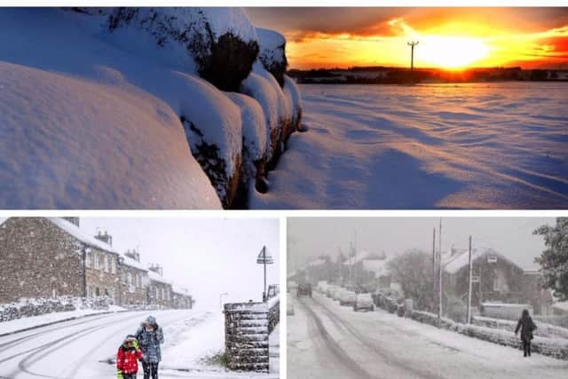
Met Office issues new yellow weather warning as snow set to hit


This weather warning is in place from 1pm today (Jan 18) until midnight tonight, covering West Yorkshire, South Yorkshire and North Yorkshire.
The Met Office said: “A band of rain, sleet and snow will move slowly eastwards across England and southern Scotland during Friday.
Advertisement
Hide AdAdvertisement
Hide Ad“There remains uncertainty in the extent of any snow, but there is the potential for 1-4 cm of snow to accumulate on some higher level routes, chiefly above 250 metres.”
What to expect from this yellow weather warning:
Hill snow could cause travel disruption across southern Scotland, northern England and the north Midlands on Friday afternoon and evening.
What to expect
Some roads and railways likely to be affected with longer journey times by road, bus and train services.
This weekend’s weather forecast
According to the Met Office, today will be “A cold, bright and frosty start, with light winds.
Advertisement
Hide AdAdvertisement
Hide Ad“Most places dry, although cloud thickening from the west, with some rain, sleet and hill snow possible by the evening. Snow perhaps falling to lower levels in one or two spots.
“Cold with further isolated outbreaks of rain, sleet, and snow overnight. Rather cloudy, with hill fog. Some icy patches possible, and a chance of frost.”
Saturday
“Staying cold, and also mostly cloudy, with hill fog persisting in places. Outbreaks of rain, sleet and perhaps isolated hill snow remain possible, but becoming mostly dry. Maximum temperature 4 °C,” add the Met Office.
Sunday
“Rather cloudy start Sunday, perhaps light rain or snow later, clearing by the evening. Fine Monday, becoming increasingly cloudy. Windy overnight, with rain and snow clearing to sunshine Tuesday. Cold.”