Met Office issues another yellow weather warning for Wakefield this week
and live on Freeview channel 276
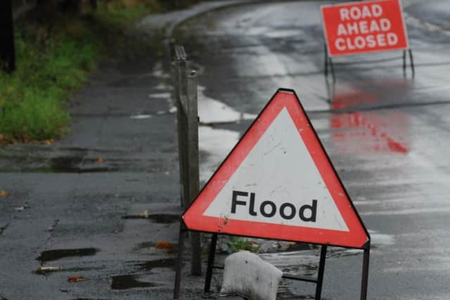
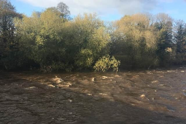
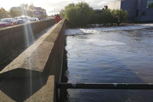
After last week's chaos as flooding closed local roads, people are being warned that more rain is forecast for Thursday.
The Met Office has said that periods of rain and hill snow may bring some disruption to transport.
What to expect

Flooding of a few homes and businesses is likely.
Advertisement
Hide AdAdvertisement
Hide AdBus and train services probably affected with journey times taking longer.
Spray and flooding on roads probably making journey times longer.
Today:
Rain will clear south eastwards during the morning, though there could be the odd shower. During the afternoon and into early evening, a few showers will reach western areas on a brisk breeze. Plenty of sunshine elsewhere, but feeling chilly. Maximum temperature 7 °C.
Tonight:
Windy with a few showers early in the night, wintry over high ground. During the early hours, more prolonged rain may affect western areas, but mostly dry in the east. Minimum temperature -1 °C.
Tuesday:
Advertisement
Hide AdAdvertisement
Hide AdDuring the morning, rain or hill snow will effect most areas for a time before moving south. The afternoon will be breezy with a few showers, mainly in the north. Maximum temperature 7 °C.
Outlook for Wednesday to Friday:
Wednesday will likely be a drier day, with winds easing, but staying cold. It may turn a touch colder Thursday and Friday, as winds turn northerly. Rain expected on Thursday.