
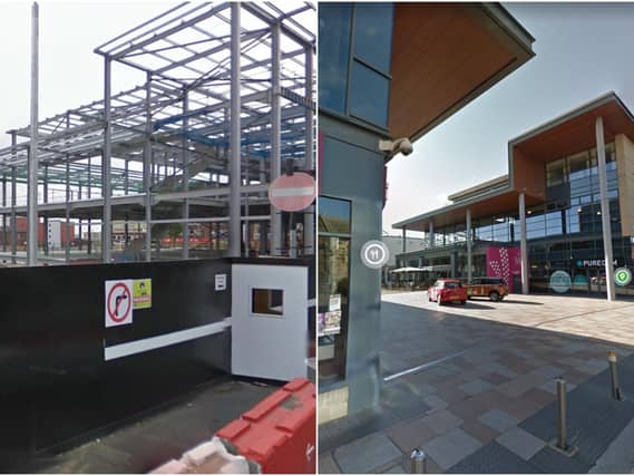

Since then, the Street View team at Google have been publishing fresh interactive panoramas of the city on a regular basis.
An accompanying time slider function allows the user to reel back the years and select almost any season they like between August 2008, when the first images were captured, to the present day.
While the technology has clear practical uses, the historical value of the images captured by Google increases with every day, month, year and decade that passes. Never before have we been able to view 360 degree panoramas of our towns and cities as they looked in bygone eras.
So, what has changed in Wakefield?
For one, the changes Trinity Walk has brought to the city...
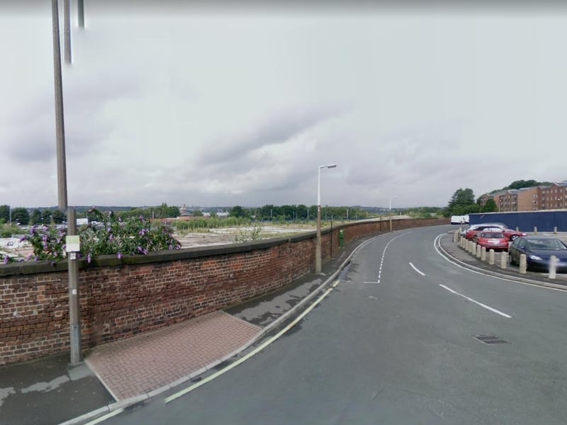
1. Back Lane (Then)
Do you recognise this piece of land? It's on Back Lane and was taken in 2008... Photo: Google Street View
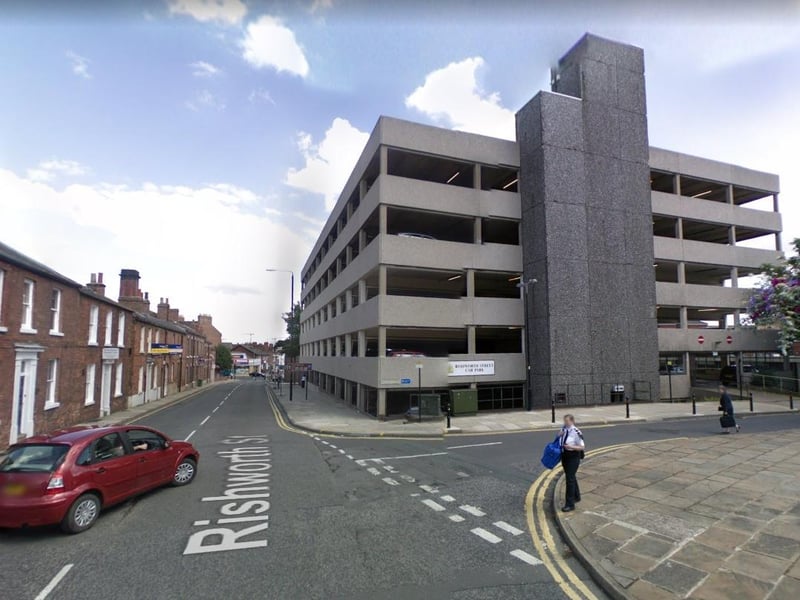
2. Bond Terrace (Then)
The multi-storey on Bond Terrace as it stood in 2008 before it was demolished. Photo: Google Street View
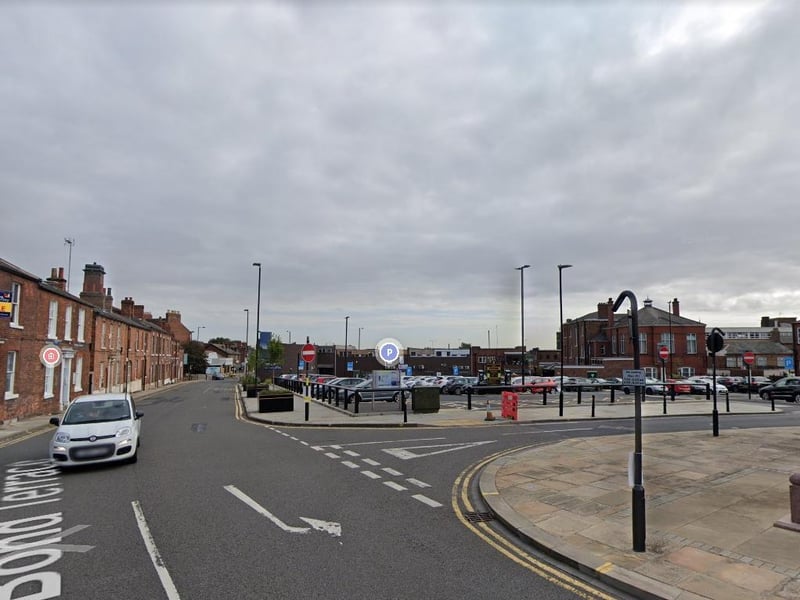
3. Bond Street (now)
The latest Google picture taken in 2020 shows the now car park standing in its place. Photo: Google Street View
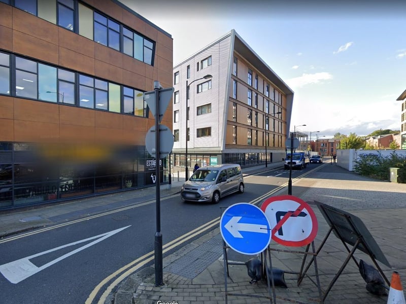
4. Back Lane (Now)
Maybe this picture looks more familiar. The piece of land now stands Escabar on Back Lane. Photo: Google Street View