
Snow in Wakefield: Met Office warns of more snow across Wakefield with an increased risk of 'wintry hazards'
Wakefield, Pontefract and Castleford could all see more snow later this month, with the Met Office forecasting a “transition to colder weather”.
This week will be more typical for the time of year, with wet and windy conditions returning later in the week.
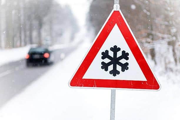

The outlook for Wednesday, January 21 to Friday, January 23 reads: “Rather windy, especially over hills, with a mixture of variable cloud and outbreaks of rain, perhaps turning persistent on Thursday. Daytime temperatures near normal for January, but staying milder overnight.”
However, as the month continues, Wakefield is expected to see temperatures drop – with a chance of further snow.
The Met Office’s long range forecast for the region, for January 23 to February 1, reads: “Temperatures are likely to be around or a little above average, except in the far northeast where it is likely to be colder with some sleet or snow.
"There is then an increased chance that conditions will turn more widely colder and drier.
"This aspect of the forecast is still somewhat uncertain but the transition to colder weather also increases the chance of snow across parts of the country.”
Into February and further cold weather is expected, with the Met Office warning of ‘wintry hazards’.
The long range forecast continues: “Initially, slowly evolving weather patterns are most likely in the vicinity of the UK, with low pressure typically to the west or southwest and high pressure to the northeast.
"This configuration brings an increased chance of cold conditions affecting the UK, and the associated risk of wintry hazards at times.”